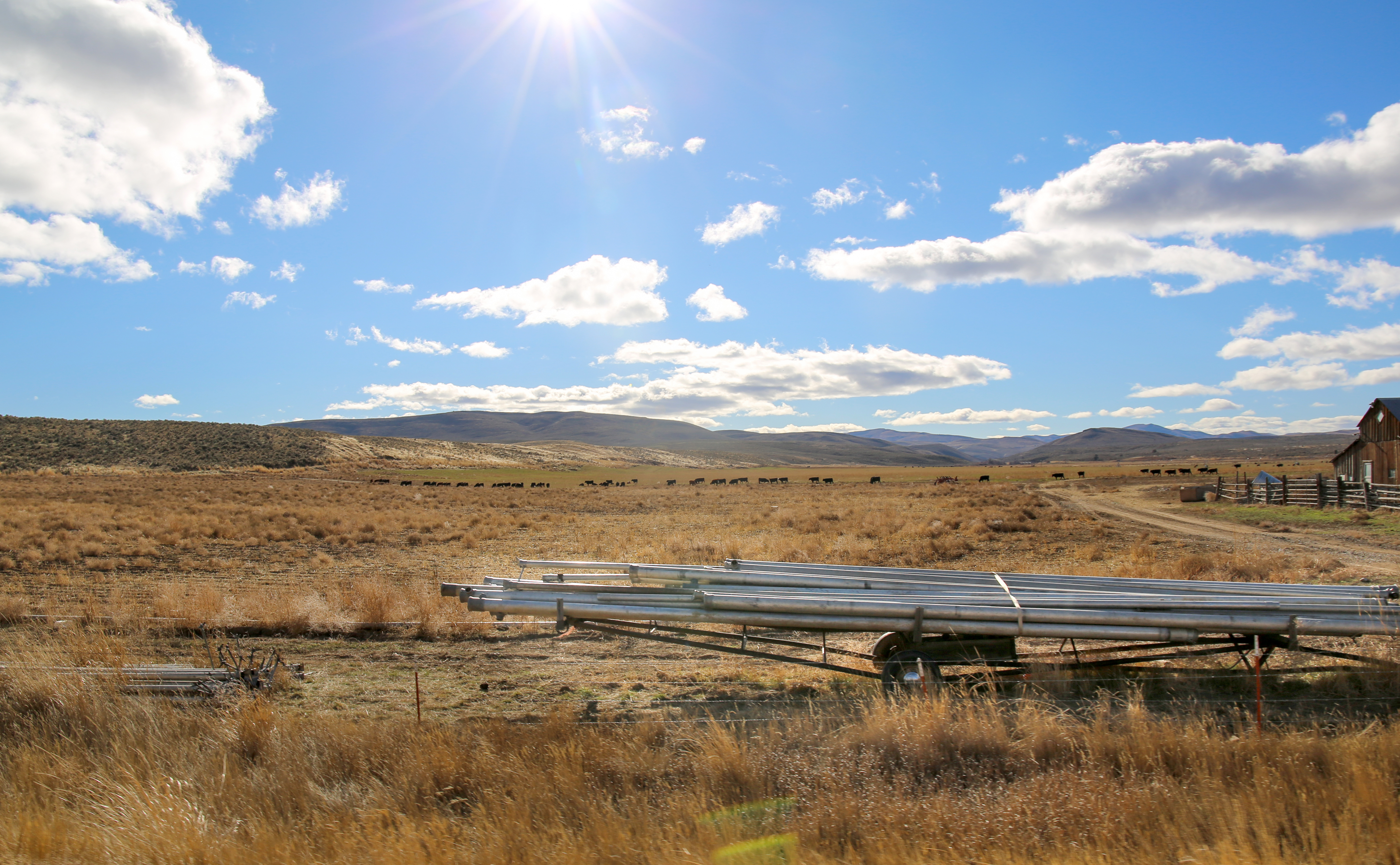
Irrigation equipment and cattle frame sit in open Eastern Oregon country in Malheur County in this 2021 file photo.
Emily Cureton Cook / OPB
The state suffered through another brutal heat wave this week, but the temperature spike in Eastern and Southern Oregon is expected to have a slightly longer tail.
While temperatures around the Portland area started to cool Thursday, the weather remained hot and dry east of the Cascades. Many of the major population centers in Eastern Oregon, including John Day, Ontario, Enterprise and La Grande were under a heat advisory from the National Weather Service as of late Thursday afternoon.
Communities closer to the Columbia River, like Pendleton, Hermiston, Boardman and Condon, were even hotter, earning them an excessive heat warning from the federal government. Hermiston set daily records for temperature twice this week, including a high of 107 degrees on Wednesday.
In Southern Oregon, the Rogue Valley International Airport recorded back-to-back highs of 106 degrees on Tuesday and Wednesday, even as Thursday cooled to 99 degrees.
Eastern Oregon’s heat wave shouldn’t last too much longer. Most communities should see their temperature start to drop Friday before declining into the 80s over the weekend. National Weather Service meteorologist Cole Evans said the delayed end to the heat wave is just a standard weather pattern.
“The high pressure system that’s caused this heatwave is shifting more to the east,” he said. “That’s just the effect of that: It ends sooner in western Oregon and then lingers a little bit longer in Eastern Oregon.”
Looking beyond this weekend, Evans said Eastern Oregon has a chance of getting some rare summer rain next week. A tropical storm is expected to head northward from the southeast, and although that could elevate the risk of lightning in the region, Evans said it depends on what route the storm takes.
“If it tracks right over us, the storms would be too wet for there to be an elevated fire risk,” he said. “If we are on the outer edges of where the system lands, it’s possible that we get some thunderstorm activity.”
Many Eastern Oregon communities are enduring an especially hot summer. In Pendleton, both June and July were warmer than the 20-year average.

